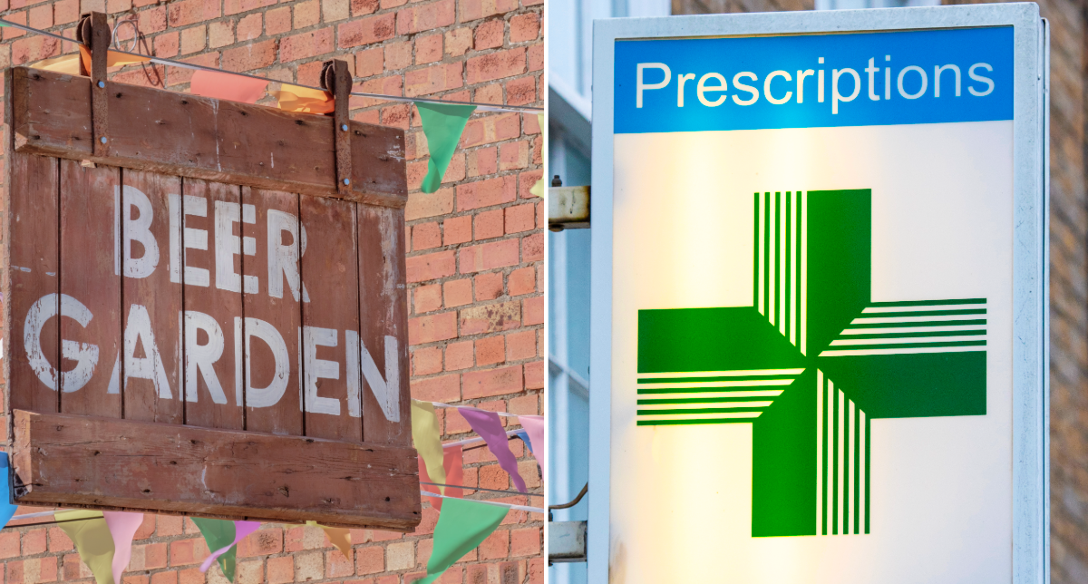
Local retail can play a role in shaping our lifestyles. Research suggests that pubs, bars and nightclubs are associated with alcohol-related harms, and people living farther from a healthcare service may be less likely to use it. So, how many British neighbourhoods have better access to pubs than to pharmacies?

By Sarah Lim, intern at the Geographic Data Service, and student of BA Geography with Social Data Science at UCL.
In Grain, a small town south of the Thames Estuary, you can stop for a pint at the Hogarth Inn right on the high street. Picking up a prescription likely requires a 22-minute drive to Hoo, two towns away. Would you make that trip?
Research suggests that access to pubs, bars and nightclubs are associated with alcohol-related harms. Studies also shows that people living farther from a healthcare service may be less likely to use it.

Cheers to convenience: Pub and pharmacy proximity across Britain
Grain is not alone. Three-fifths of British neighbourhoods are closer to a pub than a pharmacy. This percentage is even higher in most English regions, particularly in the South West, where a taproom is within easier reach for seven in 10 neighbourhoods. Even in the ‘best’ country for pharmacy access, Wales, the majority of neighbourhoods are still closer to the pub.
Although the mean difference in travel time is less than a minute, neighbourhood-level data can reveal where health services are harder to reach than less healthy features of our local environments.
The Access to Healthy Assets & Hazards (AHAH) index is a multi-dimensional framework for measuring neighbourhood ‘health’, based on accessibility (distance) to health-promoting and health-demoting features of the built environment. Measured at the neighbourhood (ie, Lower layer Super Output Area) level, AHAH combines 15 indicators under four domains: retail, health services, physical environment and air quality.
Each indicator can be explored individually, allowing users to analyse relationships between specific health indicators. The travel time of two familiar high street features, pubs/bars/nightclubs on the one hand and pharmacies on the other, are measured in AHAH. By comparing access to these central community health services to public houses, a socio-cultural institution in British life, we can shed light on the variability in proximity to these everyday high-street fixtures.
What is close at hand is harder to avoid: Short travel time to health-negating retail
Categorising neighbourhoods by closer proximity to pubs or pharmacies can enable analysis beyond these two indicators, revealing patterns across the wider retail environment. Just as distance can deter people from using a pharmacy, proximity works the other way for less-healthy retail. What is close at hand is harder to avoid.
Across the three other retail indicators measured in AHAH, neighbourhoods closer to pubs, on average, also have shorter travel times to fast food outlets, gambling venues, and tobacconists and vape shops.
However, health-damaging retail outlets are generally easily accessible across both types of neighbourhood, with an average travel time for each indicator being less than six minutes, making them a routine feature of our built environment.
Double disadvantage: Where pubs are accessible but pharmacies are not
Benchmarking the pub and pharmacy indicators against the national average can reveal how places are performing relative to one another. Using national median accessibility for each indicator, local authorities are grouped according to whether a district’s pub and pharmacy accessibility are above or below Britain’s average.
Most local authorities lie close to the national median, however a subset fall into the “double disadvantaged” upper-left quadrant that combines above-average pub access with below-average pharmacy access.